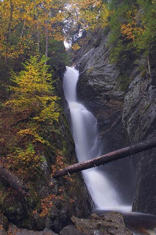
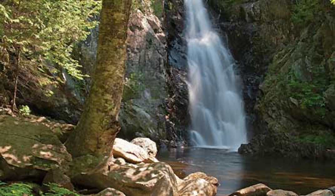
Dunn Falls Source
* Location: Near Andover, off Andover Road, marked by white blazes
* One of Maine's most spectacular waterfalls
* Swimming Holes
* Part of Appalation Trail
* Over 100 foot tall rock ledges
* One of Maine's most spectacular waterfalls
* Swimming Holes
* Part of Appalation Trail
* Over 100 foot tall rock ledges

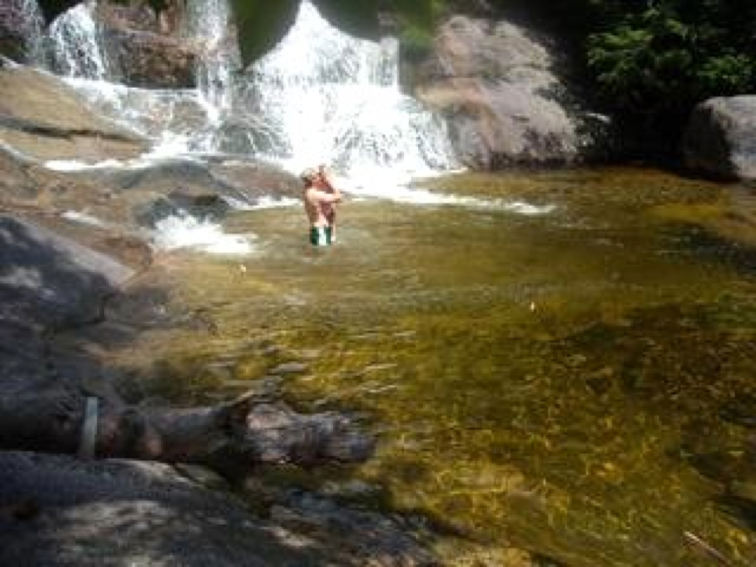
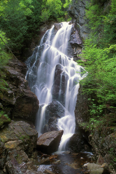
Angel Falls Source
* Over 90 Feet tall, cliffs over 100 feet
* Fed by Mountain Brook
* Location: 17.6 miles south of Oquossoc. Turn west off Route 17, cross bridge, turn right on old railroad line. 3.8 miles after leaving Route 17, take the gravel road to the left. Stay left. Hike 30 minutes.
* Fed by Mountain Brook
* Location: 17.6 miles south of Oquossoc. Turn west off Route 17, cross bridge, turn right on old railroad line. 3.8 miles after leaving Route 17, take the gravel road to the left. Stay left. Hike 30 minutes.
Step Falls Source
* Offers a descending chain of horsetails and cascades. Excellent for swimming. Descends over 250 feet.
* One of Maine's tallest waterfalls
* Location: Take Route 26 northwest from Newry until you come to the Step Falls Preserve sign
* 0.6 mile trail to waterfall
* One of Maine's tallest waterfalls
* Location: Take Route 26 northwest from Newry until you come to the Step Falls Preserve sign
* 0.6 mile trail to waterfall
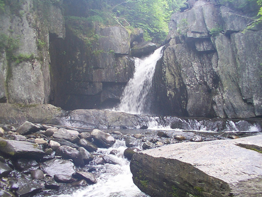
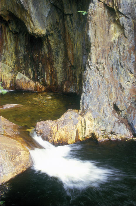
Screw Auger Falls Source
* Location: Off of Route 2 in Bethel heading west toward Grafton Notch State Park. Some people say it's off of Highway 26, but there is a big brown sign at the entrance.
* 30 feet
* Fed by Bear River
* Swimming
* Very short hike
* Picnic tables and bathrooms
* 30 feet
* Fed by Bear River
* Swimming
* Very short hike
* Picnic tables and bathrooms

Smalls Falls Source
* Great swimming spots and hiking
* Location: South of Rangeley. Shows up on google maps if you google Smalls Falls, Maine
* 54 feet high
* Location: South of Rangeley. Shows up on google maps if you google Smalls Falls, Maine
* 54 feet high
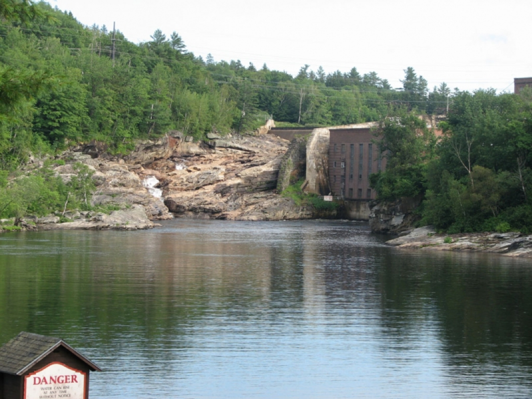
Rumford Falls Source
* Artificial lake at bottom holds trout and salmon for fishing
* Location: Go along Route 2 to Bethel. Stay on western side of the Androscoggin River to view from the road
* Location: Go along Route 2 to Bethel. Stay on western side of the Androscoggin River to view from the road
Poplar Stream Falls Source
* Location: Carrabassett Valley. Off of route 27, south of Sugarloaf Mountain
* Swimming holes
* 4.7- mile hiking trail
* Swimming holes
* 4.7- mile hiking trail
 RSS Feed